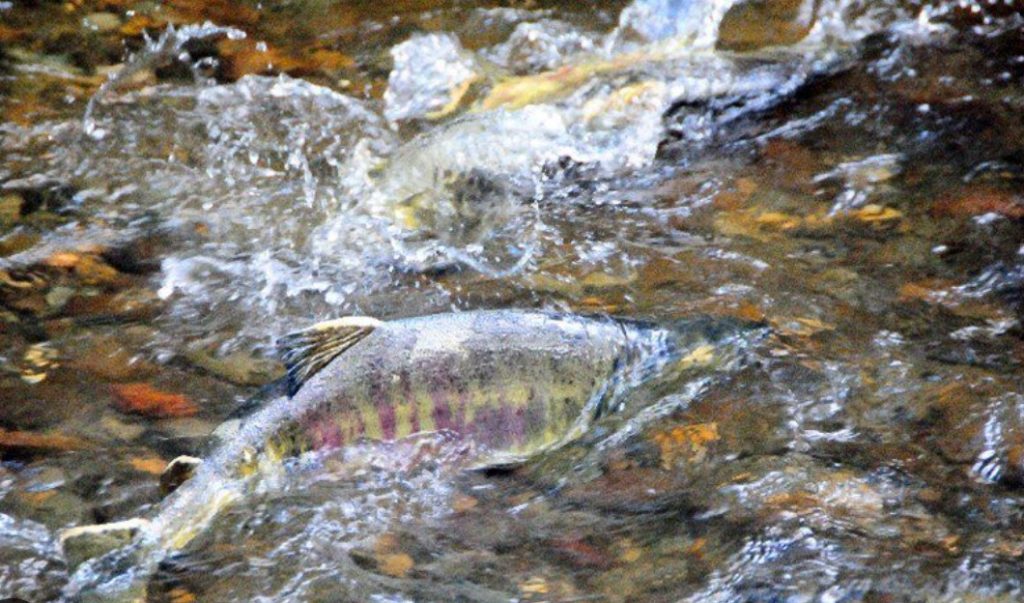
The Carkeek Watershed Community Action Project (CWCAP) uses education in action to promote clean water for the health and safety of salmon, watershed, community, and Puget Sound.
Our Water Quality Monitoring program is a volunteer-led effort designed to supplement King County’s water quality monitoring in Carkeek Park streams. Our program measures many of their same metrics but expands the number of testing locations.
Volunteers are assigned a specific location within Carkeek Park where they will conduct water quality tests periodically using testing kits. The kits are provided by CWCAP through the SnoKing Watershed Council’s Water Watchers program as part of the Global Water Watch program. These tests help to identify potential pollutants and provide an assessment on the overall condition of the water. To ensure accurate and reliable data collection, all volunteers are required to undergo formal training training sessions.
Special thanks to SnoKing for providing funding, training sessions, and support.
Stream monitoring results
Data dashboard links for CWCAP monitoring sites
- Piper’s Creek Bottom of Piper’s Creek five feet above the weir, east of the culverts that go under the railroad tracks, which is the end of freshwater portion of Piper’s Creek. Alt. 5 feet
- Mohlendorph Creek Below weir, 24 feet upstream from the confluence with Venema Creek. Alt. 101 feet.
- Venema Creek Five feet upstream of the foot bridge over Venema Creek upstream of the confluence with Mohlendorph Creek. Alt. 107 feet
- Piper’s Creek North Creek On northeast side of the trail, 55’ north of Piper’s Orchard. Alt 35 feet.
- Piper’s Creek Viewlands Trail goes over stream 30’ north of Viewlands Trail on NE side on wood bridge. Sample will be taken 19’ up Viewlands Trail.
- Piper’s Creek Below TP Below Twin Pipes on west side of trail, near the basalt weir and where the Twin Pipes coming off the West Canyon Wall empty into Piper’s Creek and where a single drain pipe comes down off the east wall.
- Piper’s Creek Above TP 24’ upstream of where Twin Pipes on west canyon falls into Piper’s Creek on west side of trail.
- Piper’s Creek Trib M King County Piper’s Trib “M” – on eastside, upstream of trail. Creek runs down east slope and under trail at about 104th St, 67’ south of laat wood foot bridhe that crosses Piper’s Creek, just north of the PC Trail switchbacks.
Map of all monitoring sites (Zoom and pan map to Carkeek Park area for Carkeek sites)
Major support for our program comes from the King County Wastewater Treatment Division Waterworks grant program.